Mulitple Data Sources
You can load and visualize data on video walls from multiple geographical data (GIS) sources in Map Module.
- Load Multiple Data Sources that follow geographical formats (e.g., GeoJSON, KML, CSV with coordinates).
- Seamlessly switch between different data sources or display them on multiple layers to compare or analyze diverse datasets on the same map.
How to Use
- Open a Map Visualization in the Visualization Editor.
- Navigate to the Data section.
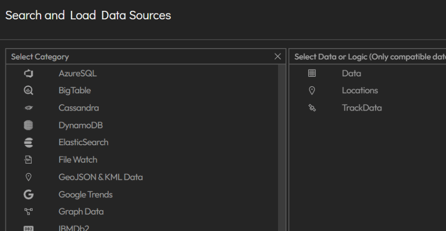
- Add one or more data sources.
- Press circled i to see Data Requirements and Examples regarding Layers.
- Use the Toggle Switch to add/remove datasets to the map.
- Added Datasets can be used to create Filters. Layers can be created from these Filters and Original Datasets.