Earth
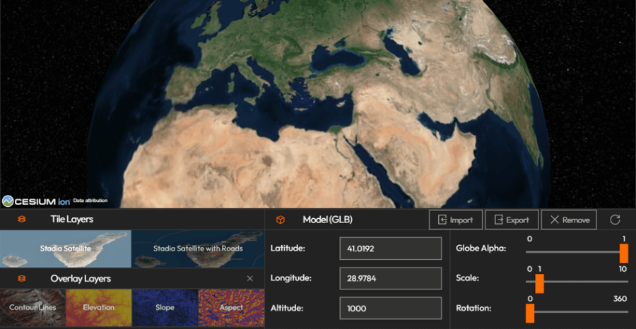
The Earth module provides a powerful, interactive 3D globe for comprehensive visual exploration and geospatial data representation. Whether you are tracking global logistics in a command center on a video wall, this tool allows for seamless, real-time planetary navigation. With core features that let you customize base and overlay layers, as well as import your own 3D .glb models directly onto specific coordinates, you can easily build highly detailed and context rich geographical visualizations.
How to configure and display images on video walls and dashboards
🧭 Features
- Freely navigate and interact with a 3D Earth map
- Change Base Tile Layers and Overlay Layers to customize your view
- Import and place your own 3D Models (
.glb) directly on the Earth view
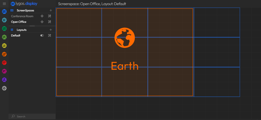
🚫 Size Restrictions
- The Earth element has a maximum allowed layout size:
- Max size: 3 screens wide × 3 screens high
- Example layout below shows how large Earth can be positioned within a grid system.
Deploy on video walls and Dashboards
Deploy through Editor by clicking Deploy. Select a screenspace and select load into first available spot or swap with already deployed visualization.
Deploy through Display Module by navigating Display Module. Select screenspace and layout. Select visualization to deploy and click load or drag and drop into grid area.